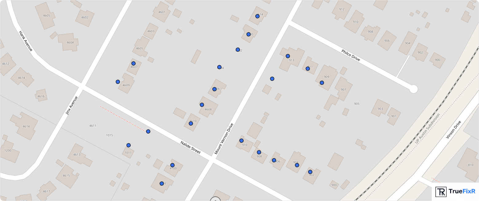
Single-property risk reports for due diligence, underwriting, and site assessment. 22 years of storm history, flood zones, soil conditions, and FEMA disaster declarations for any U.S. address.
Every data point is transparent, auditable, and traceable to its government origin. No black-box algorithms.
22 years of hail, wind, tornado, and thunderstorm events with magnitude, date, and distance from property.
Official flood hazard designations including SFHA status, zone classification, and base flood elevation.
Wildfire hazard potential from Very Low to Very High. WUI zone identification and risk classification.
Shrink-swell potential, drainage class, corrosion risk, and water table depth for foundation assessment.
Federal disaster and emergency declarations for the county including declaration type and incident description.
Current and historical drought conditions from D0 (Abnormally Dry) to D4 (Exceptional Drought).
Property Risk Assessments serve institutional buyers who need documented, auditable property intelligence.
County emergency managers and planning departments use risk assessments for hazard mitigation planning and FEMA grant documentation.
Insurance carriers and underwriting teams use documented storm history for risk evaluation and portfolio analysis.
Property owners, lenders, and due diligence teams use risk assessments for acquisition analysis and ongoing portfolio management.
Civil engineering firms and environmental consultants use property risk data for site assessments and client deliverables.
Get comprehensive property risk intelligence for your next project. Single properties or portfolio-wide assessments available.
Contact Us