Emergency management
The storm is moving. Know which addresses are in its path.
Live radar rain and alerts. An address-level outlook for ten perils. Storm history for your after-action report. One API for county, city, tribal and state emergency management offices.
Previews free. Pay as you go. $0.05 per address record.
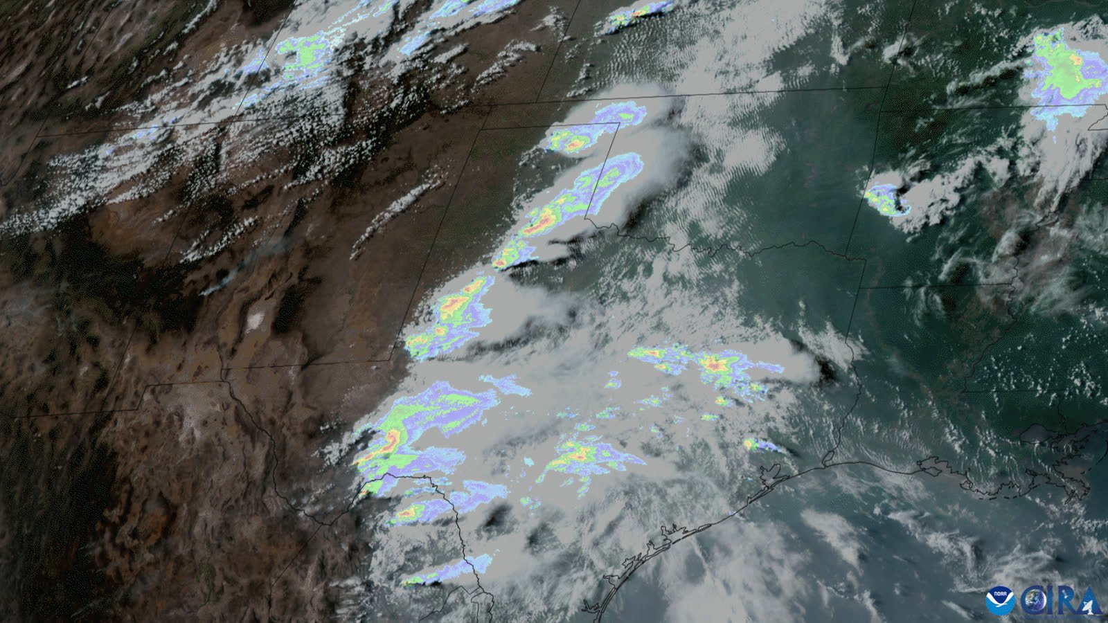
Storms over Texas, satellite and rain rate
I · Your area, right now
Choose your county. Read it live.
Live from the Atlas United API. Example county shown; choose yours. Grades run A (least severe) to F (most severe) for the next 24 hours. A forecast of exposure, not a damage assessment.
II · Two minutes
See how it works before the next storm.
III · Every phase of the storm
Before. During. After.
Before
County grade from A to F and address lists for ten perils, out to about ten days and strongest in days one to three. See the schools and critical sites inside the forecast footprint, with replacement value and daytime people for your briefing.
During
Live radar rain rate and active severe-weather alerts at any point, refreshed about every two minutes. Watch up to five hundred shelters, low-water crossings and bridges in one call.
After
Addresses inside reported and radar-detected storm areas to organize canvassing and assessment, plus dated history around any address back to 2003 with a date-of-loss check for your report.
IV · The API
One endpoint. Same fields every time.
Previews are free and need no key. You only pay for address records actually returned.
# free county preview, no key
GET https://data.truefixr.com/v1/data
  ?dataset=risk
  &county=Bexar&state=TX
  &addresses=false

# returns
{ "grade": "D", "grade_label": "Severe risk",
  "storm_types": { "FLASH_FLOOD": 935, ... } }
V · Getting started
Fast to see. Simple to buy.
Plainly: events are reported and radar-detected. The outlook is strongest in days one to three. Our data shows which addresses are exposed to a storm. It is not a damage assessment and does not replace your judgment or official warnings.
VI · Get started today
Put your office ahead of the storm.
or copy the address: admin@truefixr.com
Private briefing